Spring Danger Ratings
Every year it seems there’s a debate of what to call the avalanche danger in the public bulletin when true spring conditions have arrived. For example: frozen solid and LOW danger in the mornings rising to wet and unstable HIGH or EXTREME conditions by late in the day, but there is only one forecast rating for the 24 hr. period. Should the rating default to the highest possible danger to warn people that avalanches are almost certain at some time in the day, or default to the lower end because travel while frozen has almost no avalanche danger, or pick somewhere in between?
At various times the terms “Variable”, “Not Rated*(*see text, ),” and “Spring” have been used to overcome this dilemma rather than pick a single rating, but this approach is not standardised to the North American Danger
Scale.
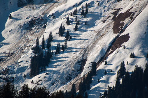
It’s important to remember that avalanche danger varies both spatially (over terrain) and temporally (over time). We have no problem understanding that the danger may be different in different places in the terrain and can certainly think about danger improving or decreasing over time periods of several days. The issue with spring conditions is that the temporal swing in danger happens rapidly within the period of 24 hrs. normally covered by a public bulletin, (or a commercial operational forecast), so determining the specific danger is really is a question of timing and aspect.
When I am asked how the danger can be rated as “LOW” when there have been a number of large avalanches observed on a given day, I think about it this way: “Where in the terrain would it be possible to go and not be subjected to avalanche danger on that day, and how long during the day would it be possible?” (space and time). If there have been clear cold nights with a good solid freeze and the answer is that you could go almost anywhere and have solid snow conditions and have them for a reasonable amount of time, then obviously the danger must be LOW. The bulletin user has to understand that timing is part of the equation. Conversely, if there was cloud cover, very little freeze and there would likely be stability problems during the majority of the day, the danger would have to be higher.
“LOW DANGER” does not mean “NO AVALANCHES.” It takes into account the fact that there is a swing in danger during the day and, that for the average bulletin user who can understand that ice melts when heated above zero, the conditions are excellent and it is the time to take advantage of the conditions.
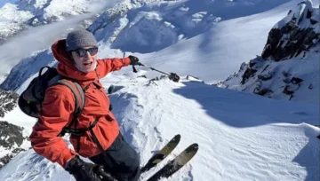
This last week has been one of the best weeks of ski touring in the Rockies for some time. Excellent freezes with very little in the way of avalanche concerns and good travel. We use the headline to highlight the importance of good timing, and give the users the “Green Brick.” Go have some fun. It is the right time to do the big trips. Use your head, start early, keep an eye on the temperatures and the faces that are exposed to the sun and enjoy! Come home before the avalanches start… and the danger to you will be LOW.
By Brad White – Parks Canada Visitor Safety Programs Specialist/Mountain Guide




Comments