
Kickstart a new Rogers Pass map
Douglas Sproul has been busy again, this time he’s publishing a new Rogers Pass Map. It’s the 2nd Edition of the companion map for the GeoBackcountry Rogers Pass — Uptracks, Bootpacks & Bushwhacks book. The book was selected as a Finalist in the 2015 Banff Book and Film Festival and is the bible for Rogers Pass.
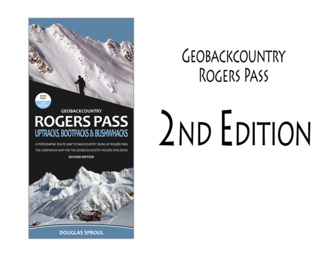
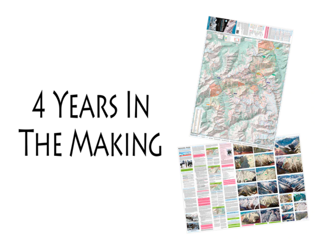
The new map has been researched, designed and created by Sproul, it’s the result of twenty-six years of research and four years of design and creation effort. The finished product will be 38” x 27” (folded to 4.25″ x 9″) map at a 1:42,500 scale for backcountry skiing.
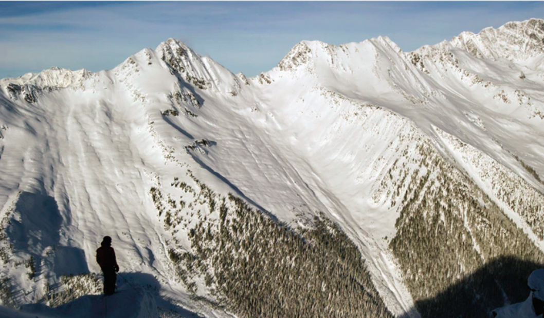
Rogers Pass may ring your bell as the birthplace of mountaineering in North America. It also happens to be one of the world’s great ski touring Meccas.
Sproul commented, “I’m excited for and confident in this project. Having knowledge of previous, successful print projects, I do not anticipate any major challenges with a production run of this new map. The design/creation, proofing and editing of the map is complete. It is now ready for pre-press. I have been in ongoing contact with the printer on schedule and cost. A big shout out to my friends at Mount Revelstoke and Glacier National Parks! With many thanks to them, you can rest assured for accuracy of this map. It has been vetted by Parks Visitor Experience, GeoMatics and The Rogers Pass Avalanche Control Team.”
Help Kickstart this new map here. Supporting grassroots inititatives like this is good for eveybody, do it today!


Comments