

Rogers Pass Map: Douglas Sproul Launches Third Edition
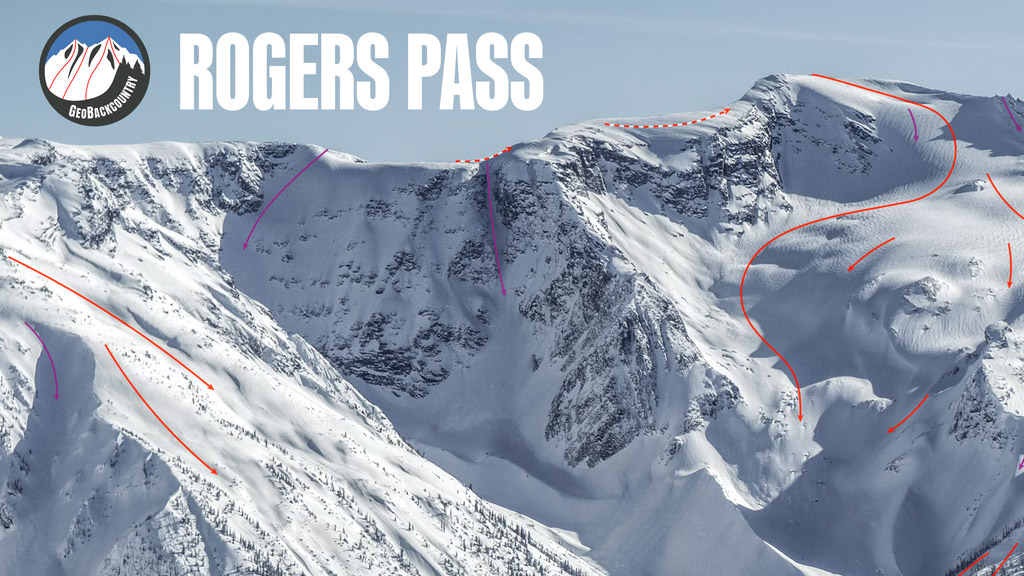
The Rogers Pass Map is getting a third edition, and Revelstoke backcountry skier and cartographer Douglas Sproul is turning to the ski community once again to help make it happen. His new GeoBackcountry Rogers Pass Map is complete, with design, editing and proofing finished. Now the Kickstarter campaign is live to fund its production.
For those who have spent years touring the Selkirks, Sproul’s Uptracks, Bootpacks & Bushwhacks series is a familiar reference. His maps and guidebooks are the product of decades spent exploring Rogers Pass, researching approaches, skiing lines and documenting the terrain.
The second edition map has sold out, and Sproul is ready to bring an updated version to print.
Back the 3rd Edition Rogers Pass Map on Kickstarter
Built by a Skier, Refined by the Backcountry Community
Douglas Sproul has built GeoBackcountry around firsthand mountain experience. His work goes well beyond drawing lines on a topographic map. Years of route research, terrain photography, cartography and conversations with other skiers have shaped his publications.
For the third edition, Sproul has incorporated feedback collected through numerous community discussions and face-to-face conversations with backcountry skiers. Suggestions for improvements have influenced the latest design, reflecting the knowledge and experiences of those who regularly tour Rogers Pass.
It’s a collaborative approach that has helped make GeoBackcountry’s maps and guidebooks such respected resources among Western Canada’s backcountry community.
Three Successful Kickstarters and Counting
Sproul’s previous three Kickstarter campaigns have all succeeded, with backcountry skiers stepping up to support his independent publishing projects.
This latest campaign continues that relationship.
“Three times, you’ve supported my Kickstarter campaigns and three times, we’ve succeeded,” Sproul said.
He also thanked the skiers who contributed suggestions and took the time to discuss improvements during the development process.
The map is designed, edited and proofed. The next step is getting the third edition printed and into the hands of skiers.
A Canadian-Made Backcountry Resource
Based in Revelstoke, Sproul researches, designs and publishes his GeoBackcountry products in Canada. The Rogers Pass collection includes two third-edition guidebooks, Rogers Pass North and Rogers Pass South, along with the companion topographic map.
The guidebooks document hundreds of ski touring routes, including approaches, summits, descents and traverses throughout the Rogers Pass region of Glacier National Park.
The new map continues Sproul’s commitment to producing a high-quality printed reference for skiers who appreciate detailed terrain information and the work behind it.
Support the Third Edition Rogers Pass Map
The Kickstarter is currently open to Canadian backers only. Sproul says U.S. tariff and cross-border shipping complications have prevented him from offering the new map to American supporters at this time.
Canadian skiers can support the project directly through Kickstarter, review the available rewards and help get the new edition into production.
Douglas has put in the years of fieldwork and cartography. Now it’s the ski community’s opportunity to back another independent Canadian publishing project.
Get your 3rd Edition Rogers Pass Map — Support Douglas Sproul on Kickstarter
Learn more about Douglas Sproul and his guidebooks at GeoBackcountry.com.
For current access requirements, winter permits and restricted-area openings, visit Parks Canada’s Rogers Pass Winter Permit information.





Comments