
BC Mountain Passes Expecting Large Snowfall
Environment Canada is reporting that B.C.’s mountain passes will see large snowfall accumulations, blowing snow and rapidly changing conditions as a cold front arrives. The snow is expected to start Saturday, intensify on Sunday and then ease off by Monday.
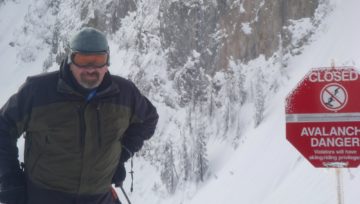
This is great news however, with a persistent weak layer in most of BC, Avalanche Canada is advising skiers to use caution.
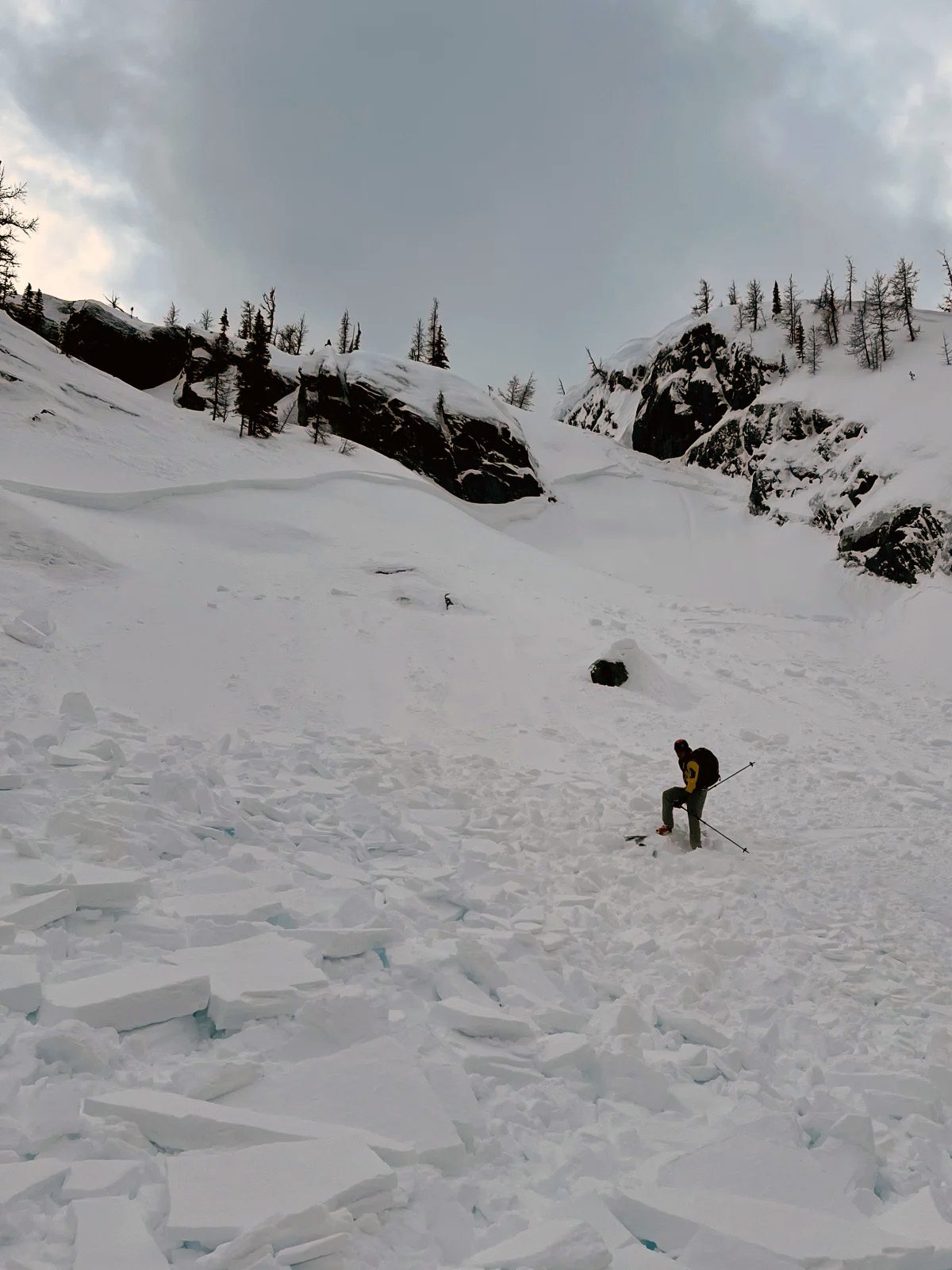
Avalanche Canada posted, “This weekend will be a good news / bad news situation. Most regions are expecting snow BUT it will be sitting on tricky persistent weak layers in the snowpack. Avalanches on this layer (like the one in the image) have been mostly small up til now, but new snow will mean the potential for larger and more dangerous avalanches.”
A widespread crust formed in early February is buried by roughly 30 to 60 cm of snow. Weak faceted grains have formed above and below the crust in areas. This is a particular concern in steep terrain where a cohesive slab may exist on the surface.
AMCLEOD posted a MIN on Feb 22nd, “The avi report was in the back of my mind: “avalanches on this layer could break wider and run further than expected.””
He continued, “Facets on crust with a developing wind slab overtop proved to be the ingredients for this class one slide that ran onto a protected bench and stopped. Micro terrain features and a limited overhead hazard helped mitigate a potentially larger slide from occurring. A lot of terrain features seemed a little suspect today with settlements and cracking underfoot. Good reminder to treat “moderate” as “considerable” when field observations are in in your face.”
50cms of fresh snow added to the persistent weak layer will be worthy of respect!
As always, check your local avalanche forecast and travel safely on your search for the ultimate powder! Enjoy the fresh snow, but prioritize safety above all else.
Photo: MIN


Comments