Rogers Pass Weather Cams
The Parks Canada weather cams in Glacier National Park are a great resource for powder skiers heading to Rogers Pass.
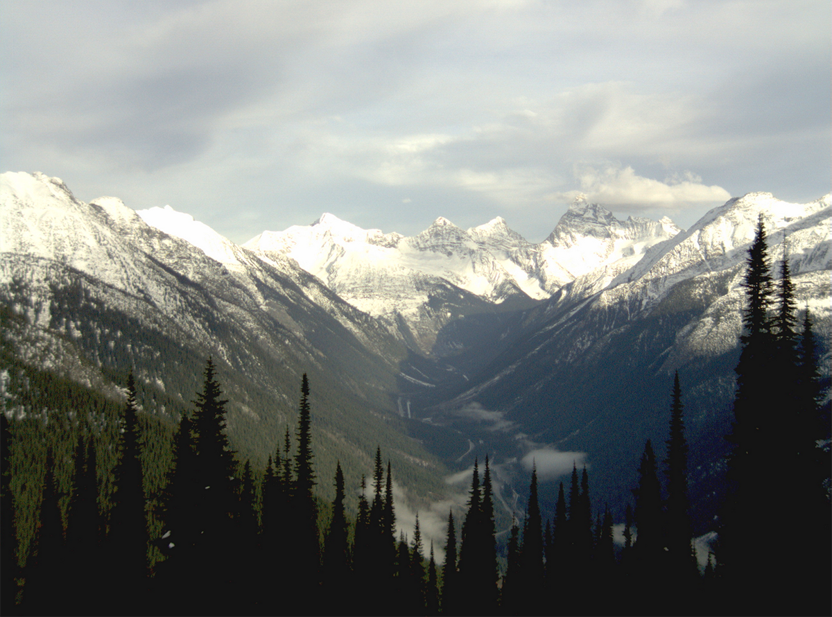
The following weather cam image is transmitted by a remote camera looking east towards Rogers Pass from the west end of Glacier National Park. The image updates every half hour, at 20 and 50 minutes past the hour. Click here for your live feed.
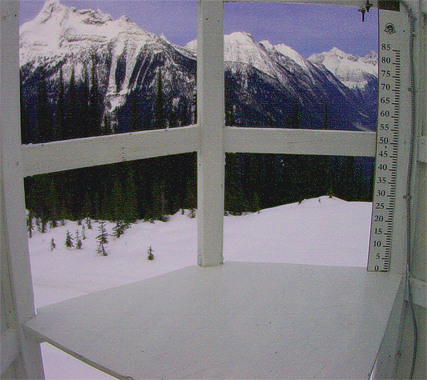
The next weather cam image displays daily snowfall accumulation at 1910 meters in the west end of Glacier National Park. Parks Canada Avalanche Technicians clear the snowboard mid-morning most days. A snowboard, also known as a Weaverboard is a meteorological tool used to aid in the obtaining of accurate measurement of snow accumulation. Click here for your live feed.
Weather and Climate
Glacier National Park is situated in the Columbia Mountain Range, and is part of the Interior Wetbelt region of British Columbia. It is characterized by heavy annual precipitation, abundant snowfall and relatively moderate winter temperatures. The weather of the Glacier National Park region develops as a result of warm moisture-laden air from the Pacific being deflected upwards by the Columbia Mountains. Decreasing pressures, expansion and cooling of the air masses result in high precipitation over the Columbia Mountains. Most moisture falls as snow in Glacier National Park. The usual snow season is from mid-October to mid-June, but snow can fall at any time of year at higher elevations. The mean annual precipitation is 1278mm (50in) at Revelstoke, 1995mm (79in) in the subalpine zone.
Heavy winter snowfalls (up to 17 metres at Rogers Pass, resulting in a two-metre-deep snowpack) result in extreme avalanche activity at times, which presents a significant public safety hazard. Daily highs and lows tend to be 5 to 10 degrees Celsius lower in Glacier National Park than in Mount Revelstoke National Park. Glacier also receives substantially more rain in summer and snow in winter than does Mount Revelstoke.





Comments