

Western Canada Snow Report: First Major Snow Cycle Hits
Western Canada snow report: A series of late-October storms has brought fresh snow to the Rockies, Kootenays, Selkirks and Coast Mountains, with significant early-season accumulations at several of Canada’s premier powder destinations.
The October 27–29 storm cycle delivered 25 cm over 48 hours at Fernie Alpine Resort, while Banff Sunshine Village reported 31 cm over seven days. Kicking Horse, Whitewater, RED Mountain and Revelstoke were also in the storm track as colder temperatures pushed snow levels down across the Southern Interior.
It’s an encouraging start to the 2026–27 winter. The alpine is turning white, snow is beginning to accumulate at treeline, and the mountains are finally looking like ski country again.
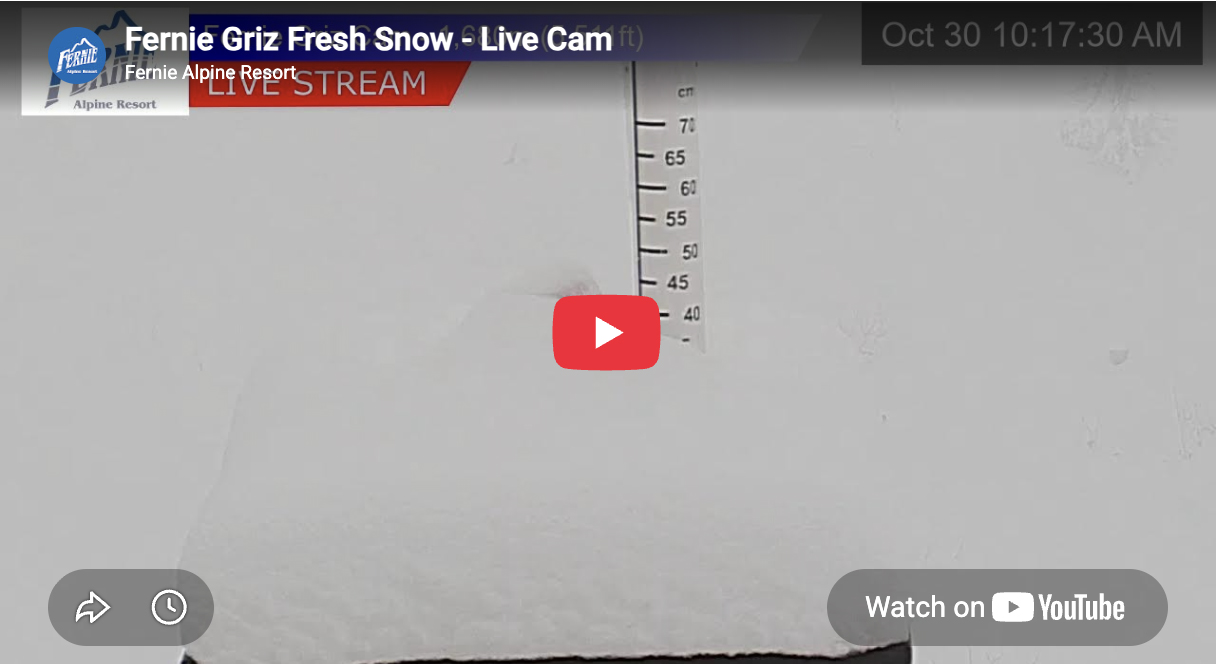
Fernie: 40 cm Starts Building the Lizard Range Snowpack
Fernie was among the strongest performers in this week’s storm.
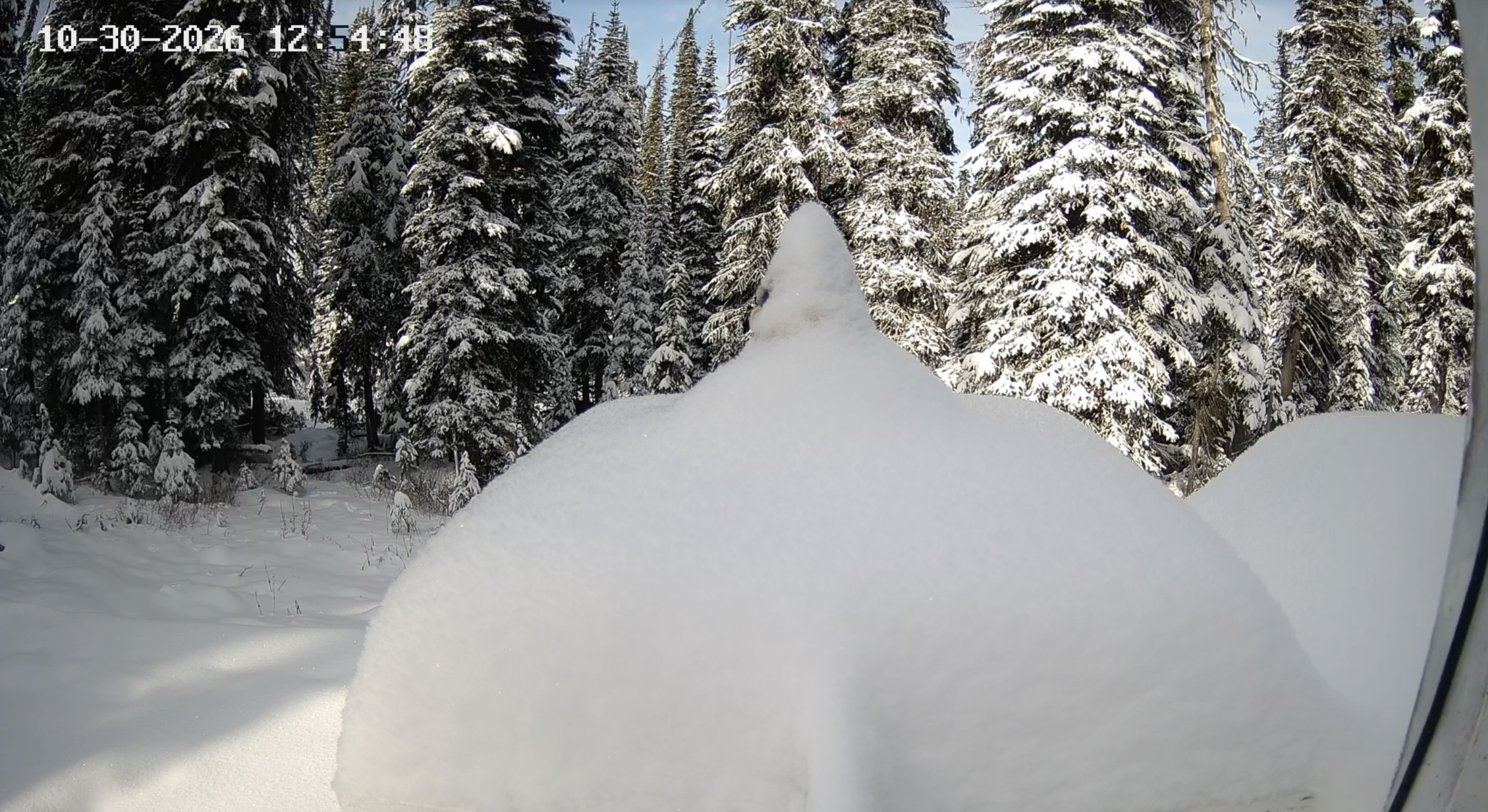
Fernie Alpine Resort recorded 25 cm over 48 hours, including 15 cm in the final 24-hour reporting period on October 28. The measurements were taken at the Bear weather plot at 1,615 metres.
The fresh snow has returned winter to Fernie’s five bowls and the surrounding Lizard Range. While the upper elevations have accumulated meaningful snow, lower elevations remain thin and the mountain still needs several substantial storms to establish continuous coverage.
For Fernie skiers, the important development is that the season’s first meaningful snowpack is beginning to form in the bowls and upper mountain terrain.
Fernie Alpine Resort is scheduled to open December 4, conditions permitting, and currently prohibits uphill access during its preseason closure.
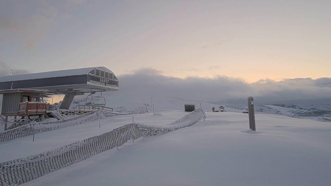
Banff Sunshine and Lake Louise: 31 cm and an Early November Opening in Sight
Banff Sunshine Village is posting some of Western Canada’s most encouraging early-season numbers.
As of October 29, Sunshine reported 31 cm over seven days, 14 cm in the latest 24 hours and a settled base of 22 cm.
Sunshine’s elevation is a major advantage at this time of year. The high alpine around Lookout Mountain, the Great Divide and Goat’s Eye is exposed to colder temperatures that favour snow preservation as the first sustained winter coverage develops.
Overnight temperatures are forecast to fall to approximately -13°C, helping preserve the recent accumulation.
Sunshine is targeting an early November opening, weather and conditions permitting. Nearby Lake Louise has also received fresh snow and is preparing for its scheduled November 6 opening, with snowmaking underway.
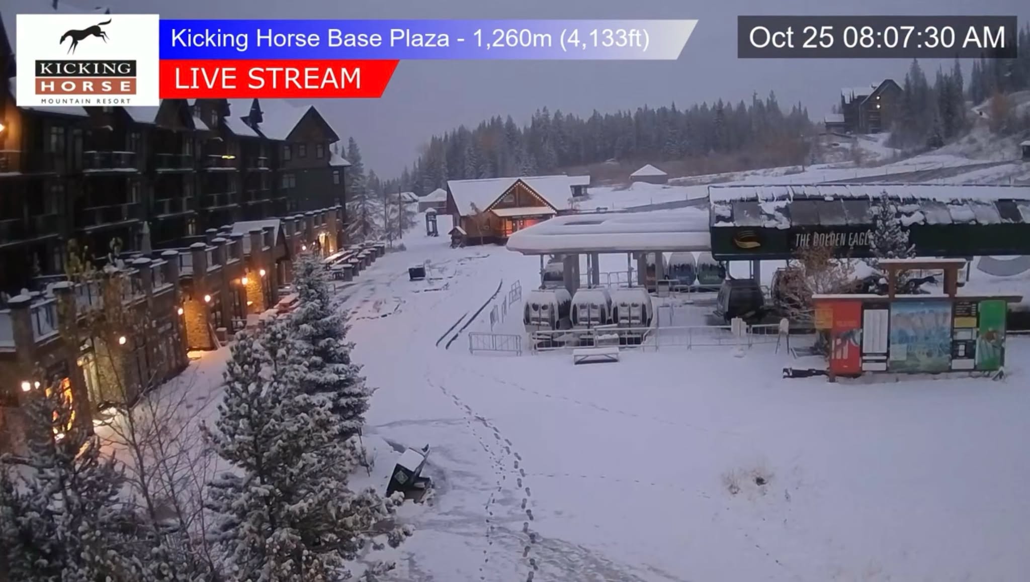
Golden: Fresh Snow Reaches Kicking Horse
Golden’s Kicking Horse Mountain Resort reported 15 cm over the past seven days, with the latest storm bringing snow to the Dogtooth Range.
The alpine around CPR Ridge, Terminator and the upper bowls is where early snow accumulation matters most. Kicking Horse’s steep alpine terrain requires a substantial settled base, particularly across exposed ridgelines, rock bands and the entrances to its signature chutes.
The recent snowfall is a beginning rather than an indication that the big terrain is ready.
Golden’s surrounding Purcells and nearby Rogers Pass country are also entering the early snowpack-building period. Conditions will vary considerably by elevation, exposure and local storm distribution.
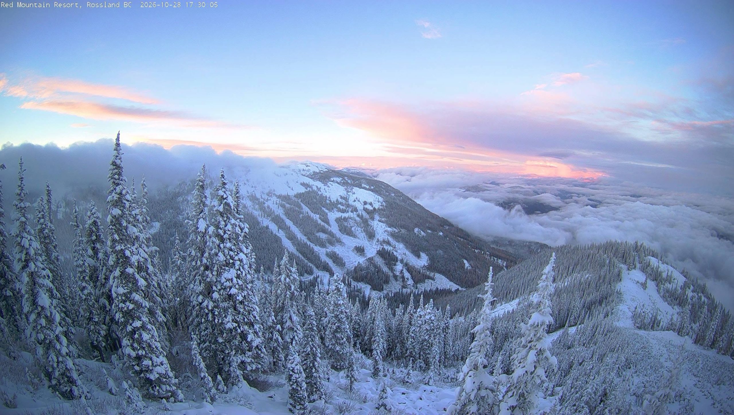
Nelson and Rossland: Snow Returns to the Southern Selkirks
The storm also reached two of British Columbia’s most cultured powder destinations: Nelson and Rossland.
At Whitewater Mountain Resort, weather models estimated approximately 6 cm of snowfall at mid-mountain during October 27–28. The fresh snow is a modest addition, but an important early step for Whitewater’s upper terrain around Ymir Bowl and the Summit ridgeline.
Farther west, RED Mountain was forecast to receive approximately 12–16 cm during the storm cycle, although a verified resort total has not yet been published.
RED’s Granite Mountain and Paradise terrain will need continued accumulation before the mountain’s steep glades, ridges and natural features become skiable.
For both destinations, the arrival of colder weather and repeated snowfall will be more important than any single October storm total.
Revelstoke: Winter Returns to the Upper Selkirks
Revelstoke was also in the path of the late-October storm, with forecasts calling for approximately 11–15 cm at Revelstoke Mountain Resort during the October 27–29 period.
Those figures are model projections rather than confirmed resort measurements.
The upper reaches of Mount Mackenzie are positioned to benefit from colder snowfall, while the resort’s low-elevation village base remains more exposed to rain and fluctuating freezing levels.
The surrounding Selkirks, including Rogers Pass, are entering an important period for establishing their early winter snowpack. Above treeline, wind redistribution and the presence of old snow or glacial ice can create highly variable conditions.
Revelstoke’s first major storm cycles are always worth tracking closely, particularly as the colder high-elevation snow begins to persist between systems.
Whistler: Cold Alpine Temperatures Preserve Early Snow
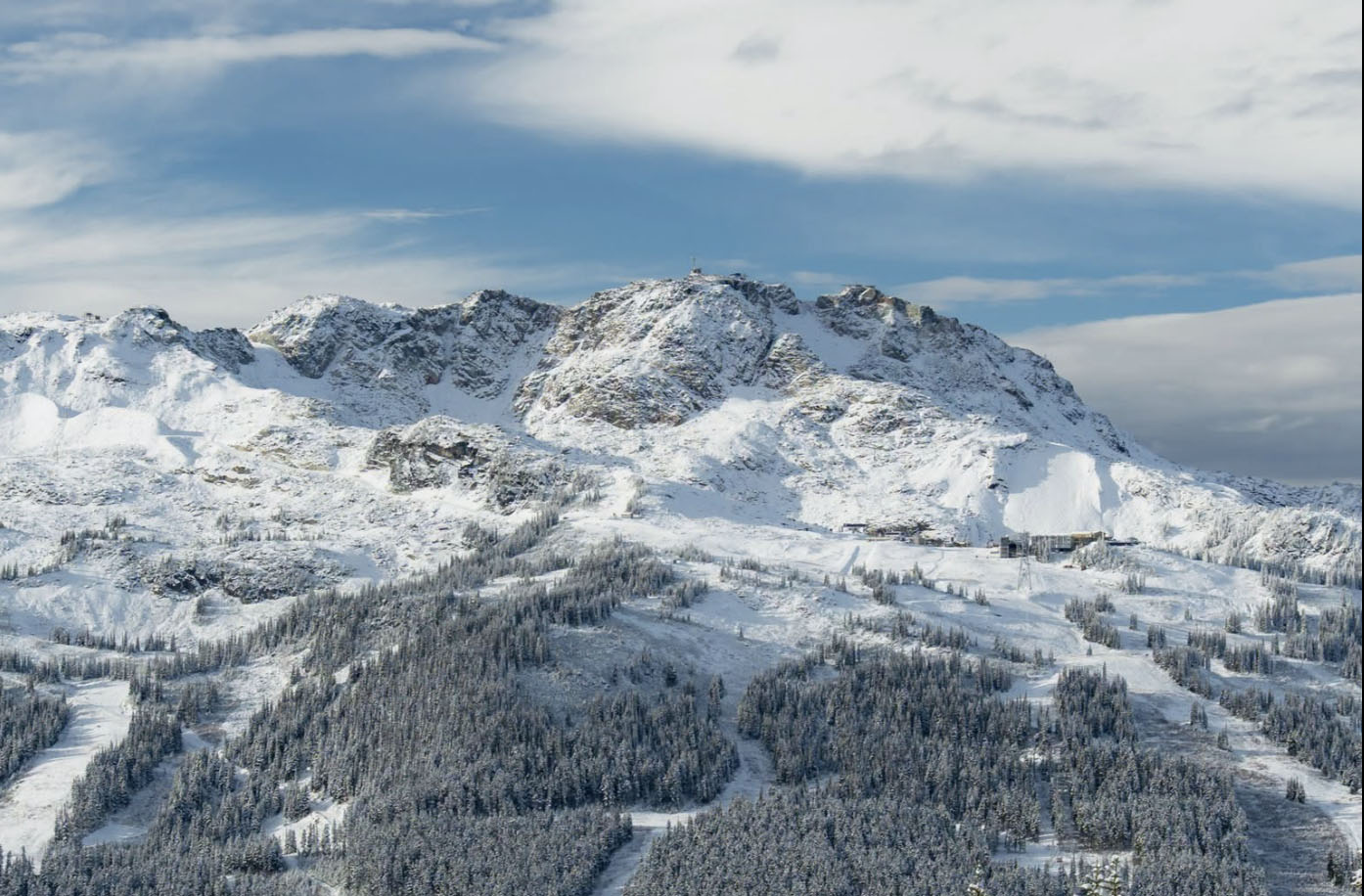
At Whistler Blackcomb, the late-October weather pattern has brought winter temperatures back to the high alpine.
On October 29, Whistler Peak was reporting approximately -7°C, with temperatures around -6°C at the Roundhouse elevation. The freezing level had fallen to approximately 1,300 metres.
The colder weather is favourable for preserving new snow at higher elevations, although the resort has not provided a verified accumulation total for this storm cycle.
Whistler and Blackcomb’s alpine bowls and glacier terrain remain early-season environments, with highly variable coverage and substantial exposed hazards.
What’s Next for Western Canada’s Powder Mountains?
The first significant snowfall has arrived and the long-range outlook is giving skiers even more reason to be optimistic.
The Old Farmer’s Almanac predicts that British Columbia could experience some of its snowiest and coldest weather this winter, with the heaviest snowfall and lowest temperatures expected in late December, January and early February.
Seasonal predictions are never guarantees, but the prospect of sustained cold and successive Pacific storms is an exciting one for skiers from the Coast Mountains to the Selkirks, Monashees and Rockies.
With October’s first significant snowfalls already blanketing the alpine, the foundation for winter is taking shape. If the long-range outlook delivers, the 2026–27 season could be one to remember across Western Canada’s legendary powder destinations.






Comments